
Good question; easily answered. Shoothill - The Specialists in Software. At Shoothill® our speciality is you. We know the software industry inside out and dedicate ourselves to fully understanding your business. We are custom software developers that deliver services designed to help maximise your commercial potential. Our key focus, supported by business savvy leadership, experienced systems analysts, and talented developers, is creating your business's ideal digital solution.
View our award-winning work here
Defy your limits with our help. We’ve worked to build hundreds of fully customised applications which re-engineer business processes. Our versatile software optimises productivity, efficiency and, of course, profitability. As your business grows, we continue delivering value. We deliver stellar customer support with a no-nonsense policy on making sure you get the most out of our services.


You want a company who understand business and software, with years of successful experience in their industry. You want a brand which comes highly recommended from big name clients. You want Shoothill®.
.


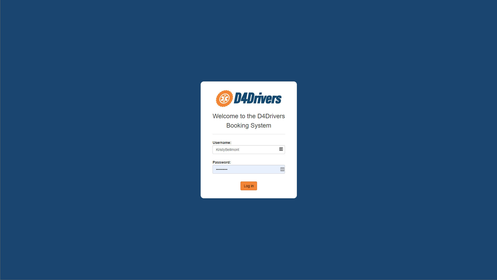
Modern businesses can achieve greater efficiency by consolidating their operations into a cloud powered digital workspace. Our innovative cloud applications are designed around your business model, providing data integrity, automation, and remote user access. Easily scaled with your company growth, a cloud based management hub keeps you in control of your enterprise, whilst simplifying processes across your team.
Find out why


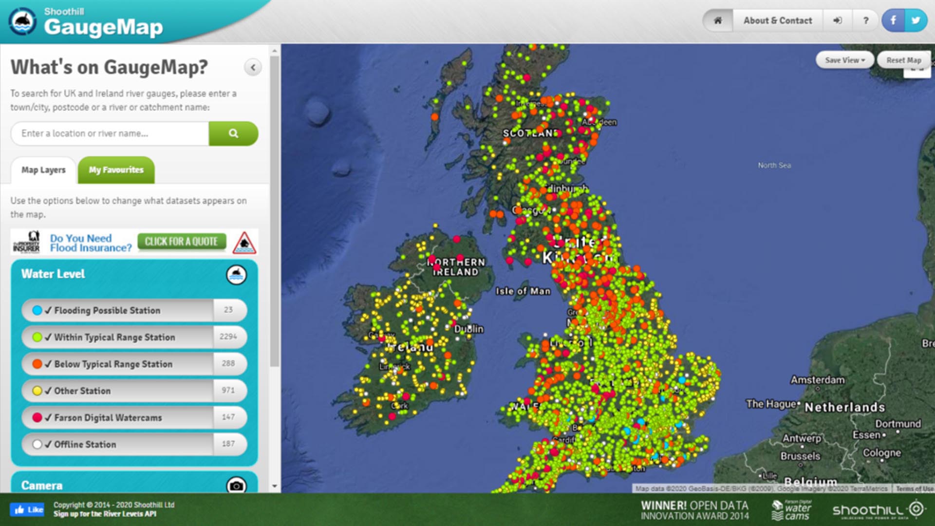

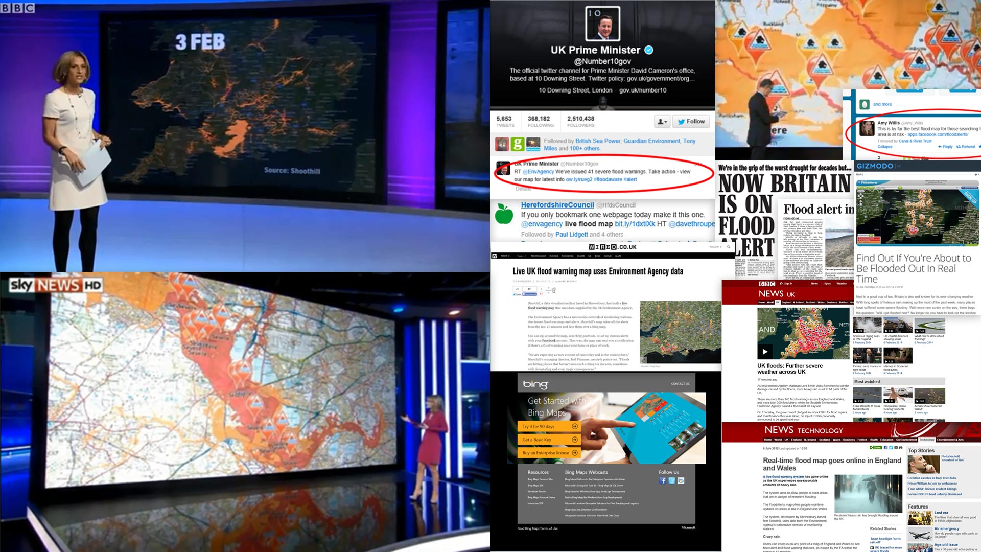

Digital technology can make the impossible possible, and revolutionise a business. Digital transformation is about having an open minded approach that seeks for opportunities to leverage this technology effectively. Shoothill® have a wealth of experience across software tools - Cloud, AI, IoT, live mapping, and much more - and our planning and consulting team will work closely with you to find the optimal digital solutions within your enterprise to achieve the ideal transformation.
Find out why